07
Oct
As Australians, it’s impossible not to be infatuated with the outdoor lifestyle simply because we live in a country that’s been blessed with great weather, and great landscapes waiting for us to explore them. Our culture is geared around camping, however, there’s also lots to do if you’re into hiking, surfing, kayaking, fishing, hunting, and 4WDing.
There’s something for everyone’s preference and adrenaline dose requirements, so this means you’re sure to find the perfect activity and landscape for you. But before you embark on your journey, it’s important to prepare adequately for the specific area of your exploration.
Having the appropriate tools, shelter, lighting, supply of food and water, kitchen equipment and clothing is all essential, and yet it would still be insufficient for a stress-free experience if you set out without the crucial navigation gear. You need to have a sense of direction with the useful:
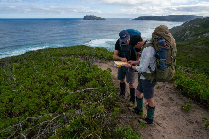
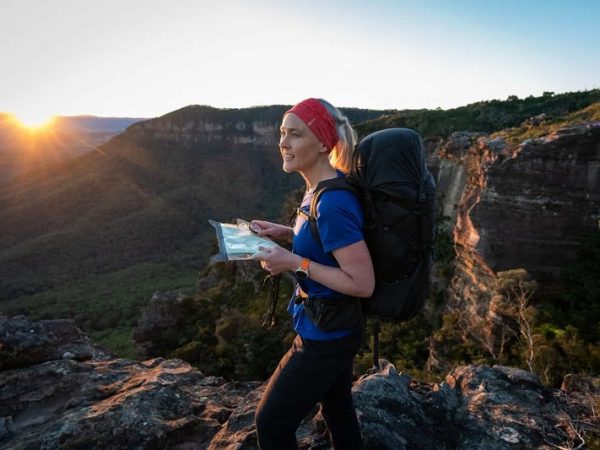
With all the advanced technology nowadays, you might be wondering why on earth would you have to include a map among your navigation tools. That’s because, depending on the situation, you might find it most handy so it’s the “just in case” item you don’t want to miss out on.
This is especially true for a topographic map of Australia with distinct features of location, vegetation, and elevation. These maps are important tools that represent three-dimensional landscapes, making it easy to find various land features, including valleys, ridges, and peaks. Some top-notch designs of advanced maps can be equipped with additional features you might find highly useful when exploring the Australian outdoors.
For example, this can be a list of camping areas, caravan parks, fuel locations, as well as information centres besides road maps of the specific region where your adventures take you. Other easy-to-read Australia topo maps might provide further information on national parks and desert tracks.
Of course, as much as it is important to acquire them, it’s equally important to make sure you know how to read them and navigate through the wilderness. My piece of advice, besides buying the map, is to work on your map-reading skills before deciding to go out on an adventure. Most importantly, improve your map scale and size knowledge!
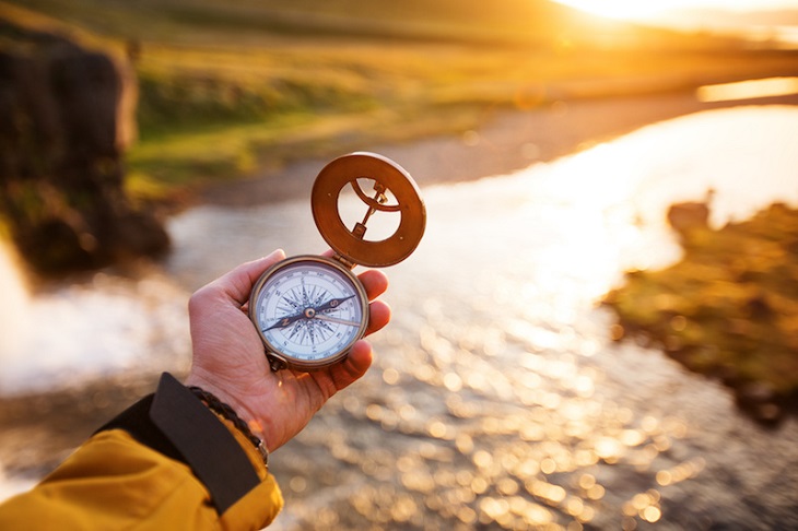
Similar to the practical topographic map of Australia, a compass can come in handy at the most unexpected times. Yes, even at an age where more sophisticated instruments are available and it is possible to use natural methods to establish the direction and location. Don’t leave a compass out of your list of navigational necessities because it can make using a map easier since you can use it to point north and get a better feel of where you are and where you’re going.
Sure, a basic compass can do the job, but if you want a better tool for the outdoors, some extra features are recommended. This would certainly be appreciated if you require highly precise navigation or you’re going off trail. Some of the beneficial features are a sighting mirror, global needle, clinometer, declination adjustment, luminescent indicator, and magnifying lens.
The mirror is helpful with following up a distant landmark, while the global needle makes the compass work accurately worldwide so you can use it wherever you go. The clinometer is great for assessing object heights, and the declination adjustment is ideal if you travel to new regions frequently. The luminescent indicator is perfect for finding your way after dark, whereas the magnifying lens again proves to be of use for reading your choice of a topographic map of Australia.

Okay, we’ve finally come to modern technology that substitutes good old compass use and map reading. Much like these tools, it’s designed to offer you information about where you are and where you plan to go, as well as store useful data about where you’ve been. Using the advanced GPS (Global Positioning System) technology based on satellites, you can get the needed info no matter where you are.
Depending on what you require, the ease of use of the device and its size, you can pick from GPS units, GPS watches, and GPS smartphone apps allowing you to use your device to your advantage and save up some money for other expenses. Still, if you want to save your precious battery life for emergencies, it’s best to buy an additional GPS device to use besides your smartphone.
Some useful features you should look for include wireless data transfer, preloaded maps, barometer/altimeter, electronic compass, camera, and geocaching. Once you choose what you most find essential for your trip, familiarise yourself with the system and features, and do the necessary custom settings, such as map datum and coordinates.
Yes, you read this right. Even in the time of smartphones, taking notes of your whereabouts, marking your pace, and calculating how much time it would take you to get from point A to point B is still recommended. To ensure your notes stay intact, buy a waterproof notebook. Besides, having your reliable pen would help you take notes directly on the map for quick and easy reading that doesn’t depend on battery life. And on top of it all, it’s great to have around when you feel like sketching your surroundings!